

Here’s Why Helicopters Are Towing Giant Loops Across Minnesota
What the heck is that? That's what a lot of people have been asking as they've witnessed low-flying helicopters carrying a large hoop-like device overhead. What's going on here?
Low Flying Helicopters Surveying Land
I saw a post on Facebook that showed images from a door camera over Esko. It definitely is something you don't see every day. It had some people concerned about what they were looking for. Some even suggested that it was mapping out places to put data centers.
Fortunately for many, that's not the case. The United States Geological Survey issued a press release earlier this summer about planned helicopter mapping flights over the region.
What Are They Looking For?
The helicopters are using airborne geophysical technology to survey the Lake Superior Basin in western Michigan, Northern Wisconsin, and northeastern Minnesota.
Geology, Mineral Resources, and Groundwater
The goal is to modernize the nation's maps of geology, mineral resources, and groundwater. They are also looking to identify energy and groundwater resources.
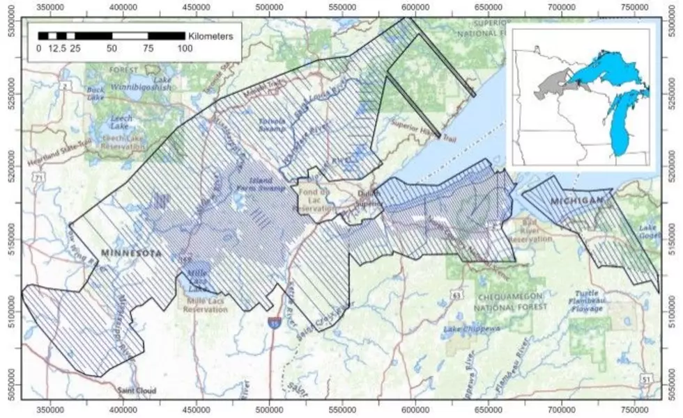
USGS Looks To Find Graphite
One of the minerals the USGS is looking for is graphite. The United States is completely reliant on importing graphite. Graphite is used for making batteries, steel, and defense applications. It's one of many resources on the critical list of minerals maintained by the USGS.
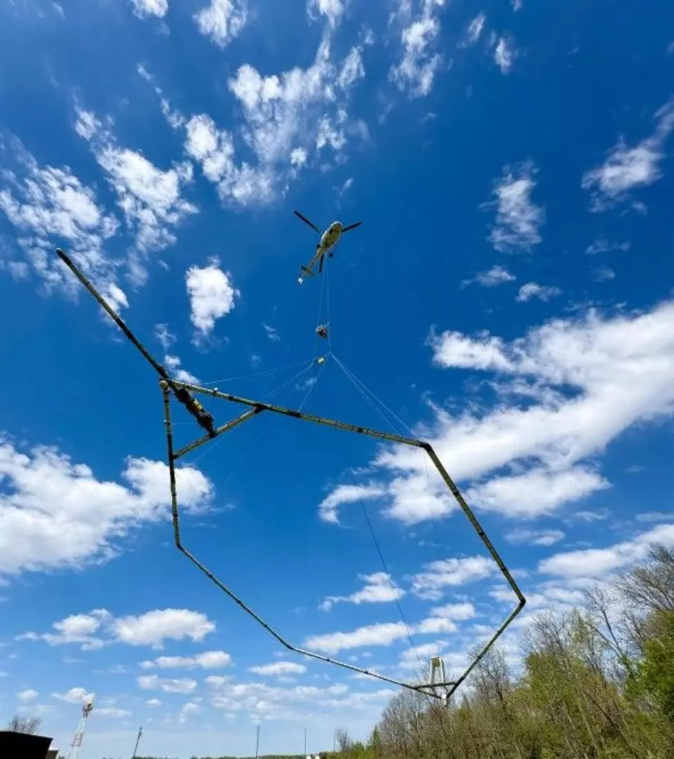
How does it work?
The electromagnetic equipment maps changes in the electrical conductivity of underground rocks. The mapping provides insight into the geological framework of the area.
Read More: Best Places To View Perseid Meteor Shower In Minnesota
The helicopters fly very low, around 100-200 feet above ground. The USGS assures the public that the equipment doesn't pose a health risk to people, animals, or plant life. They also aren't taking any video or photos, and they do not fly over densely populated areas.