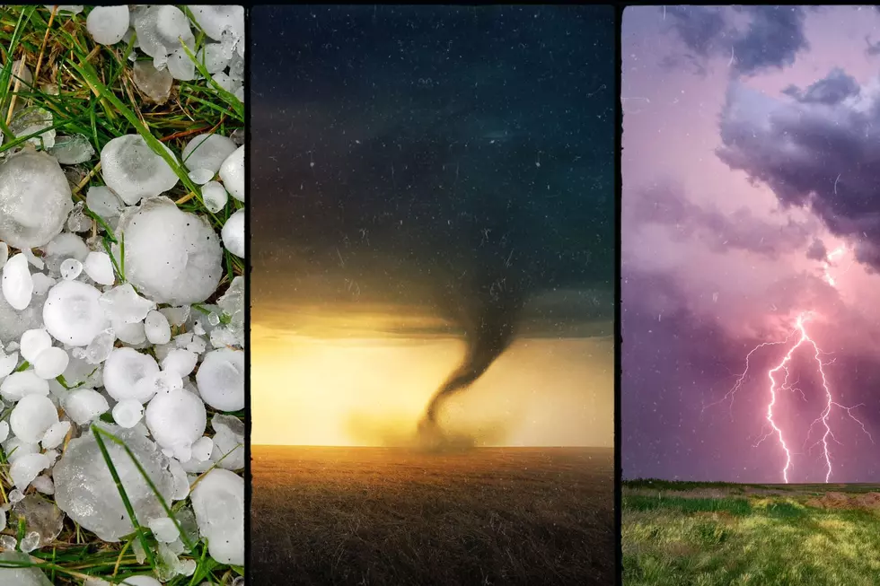
Storm Disrupts Rochesterfest and Thursdays Downtown (Photos)
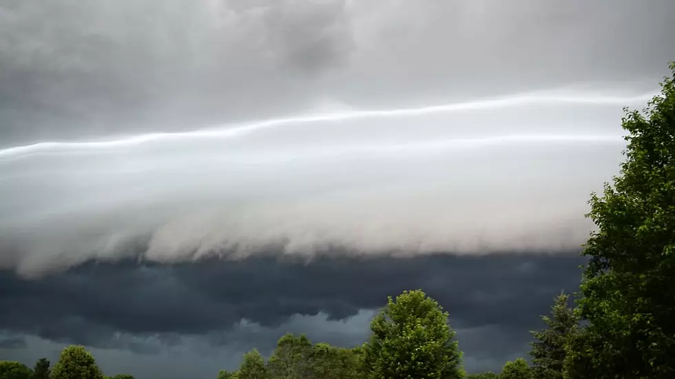
Rochester, MN (KROC-AM News) - The line of menacing thunderstorms that marched across southern Minnesota this morning and this afternoon resulted in some spectacular photos and disrupted some festivities in and near downtown Rochester.
The Rochester Downtown Alliance made the decision early this morning to cancel this week's Thursdays Downtown event and the organizers of Rochesterfest announced have now announced all of today's events have been called off due to the storm system.
SE MN Storm Cloud Photos 6/27/19
The National Weather Service did issue a number of severe thunderstorm warnings in southwest and south-central Minnesota, along with areas of northern Iowa, but the storm lost a little intensity by the time it arrived in the Rochester area shortly after 11 AM. It did produce wind gusts around 45 miles per hour and periods of heavy showers that dropped over a half inch of rain on the city but no storm damage was reported. That was not the case in northern Iowa, where there were reports of wind gusts exceeding 70 miles per hour, which downed a number of trees. There were also reports of damaging hail in some northeast Iowa communities.
The National Weather Service says showers and strong thunderstorms remain a possibility until the early morning hours on Friday and a severe thunderstorm watch remains in effect for the far southeast corner Minnesota and northeast Iowa until 7 o'clock this evening. A mini heatwave is forecast to begin on Friday when the high temperature is expected to reach the upper 80s. The National Weather Service says the afternoon high temperatures over the weekend could climb into the low 90s.
More From Y-105FM