My Brother’s Pictures Shows You Just How Huge the Malibu Fire Is
When something as large as the Southern California Fires happens, it can be hard to really grasp its size. But this might help. The map shows the Woolsey fire area...and way to the right you'll see Los Angeles. From LA to the Eastern edge of the fire on the map (Calabasas, CA) is about 30 miles.
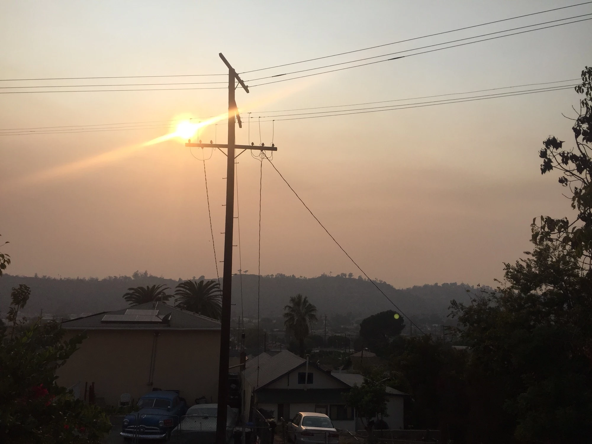
This picture is taken looking toward Malibu from my brother's front porch in Los Angeles. Usually, you can see all sorts of things clearly, including the Griffith Observatory. Not now. Now it is all thick smoke that the sun can barely push thru.
With 170,000 Los Angeles County residents under evacuation orders. According to Curbed LA, "Los Angeles County Fire Chief Daryl Osby...noted that there were no new reports of homes burning down.“Today was a better day,” he said Sunday evening."
Listen to James Rabe 6a to 10a on Y-105 FM
More From Y-105FM